

Linz — / Open data · CC BY 4.0 · Stadt Linz – data.linz.gv.at
Real context → your workflow
Crop any real site.
Open it in your BIM or 3D software.
SiteSup cuts it out of national geospatial data as a textured mesh or coloured point cloud, with every existing building, structure and piece of debris in place. Georeferenced, correctly scaled, and ready for import.
[ Why? ]
We don't need precision. We need context.
We design around and with what’s already standing — and what’s standing has texture, damage, and history. An extruded white footprint tells us nothing we couldn’t have guessed. Even a rough textured model shows us plenty that can inform an initial design.
Not a white box. The site as it actually is.
[ How it works ]
Draw a box around the site. Run the export yourself, right in your browser.
Search the address
The studio finds the finest survey published for your location — municipal, regional, or national — from a catalogue built from each source’s own coverage, with one list per country. The map shows the source’s coverage, so you can see where it ends. A few city models are sourced on request and take up to 24 hours; some scans have to be ordered from their publisher first and arrive later.
Set the crop
Drag the box over the site, pull its handles to the width and depth you need, and turn the knob to rotate it. You can also enter the latitude and longitude manually. Small crops are free a few times a day; larger ones are paid per export.
Choose what comes out
Three outputs, chosen independently. The mesh is the photogrammetric model itself, cropped and textured, as OBJ, where its licence allows. The native point cloud is a different product: the points a laser survey (LiDAR) actually measured, exported at their own density as E57. The mesh-derived point cloud is not a survey at all but a way to work with the mesh in CAD: points generated over its surface, each coloured from the texture, so ArchiCAD or Revit can take the model as an E57. You can set its spacing, starting from what the engine recommends for that source, and the point count appears on screen before processing begins.
Export in one run
A selection brings in everything within its coverage, so a site surveyed twice is exported only once: the textured mesh from one survey and the LiDAR from the other arrive together in one download. Heights use the national height datum where one is published, georeferenced around a local origin — OBJ for Rhino, Blender, or SketchUp; E57 for ArchiCAD and Revit. The site is correctly placed and scaled.
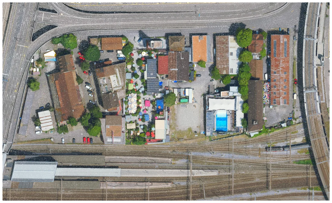
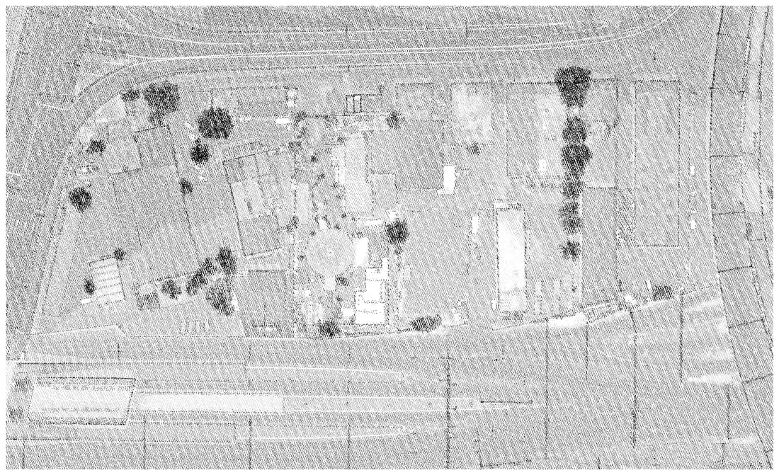
The same site, the same crop, two surveys — one export, one download.